A Oxfordshire 1611 - 1836 - Fold Up Map that features a collection of Four Historic Maps, John Speed's County Map 1611, Johan Blaeu's County Map of 1648, Thomas Moules County Map of 1836 and a Plan of Oxford 1836 by Thomas Moule. The maps also featu
€ 26,50
Topografische kaarten
Mapseeker Publishing Ltd.
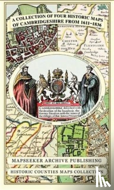
Cambridgeshire 1611 - 1836 - Fold Up Map that includes Four Historic Maps of Cambridgeshire, John Speed's County Map of 1611, Johan Blaeu's County Map of 1648, Thomas Moule's County Map of 1836 and Thomas Moule's Plan of Cambridge City 1836
€ 26,50
Hardback
Nielsen, Arne
Der Elefantenbäcker
€ 31,90
Paperback
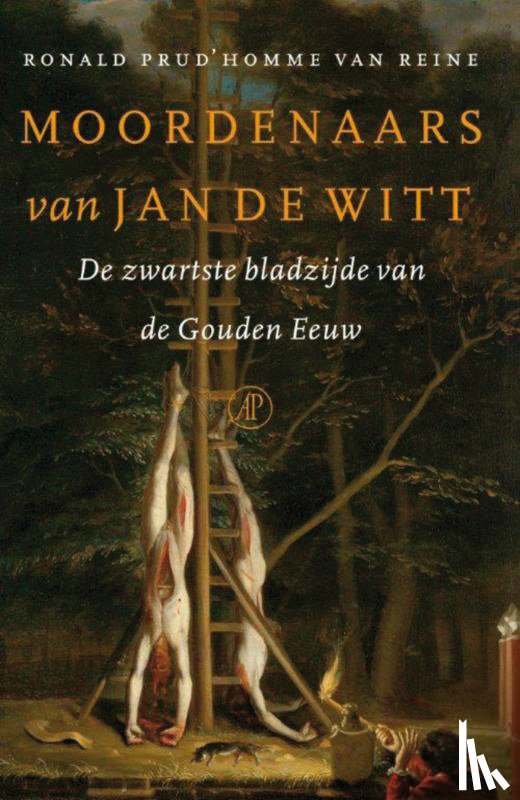
Prud'homme van Reine, Ronald
Moordenaars van Jan de Witt
€ 20,00
Paperback
Vriese, Geert De
De tour in Belgie
€ 21,99
Hardback
Bronkhorst, Arjan, Eerenbeemt, Marc van den, Wilt, Koos de, Tussenbroek, Gabri van