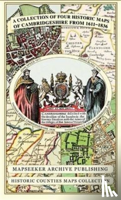
Cambridgeshire 1611 - 1836 - Fold Up Map that includes Four Historic Maps of Cambridgeshire, John Speed's County Map of 1611, Johan Blaeu's County Map of 1648, Thomas Moule's County Map of 1836 and Thomas Moule's Plan of Cambridge City 1836

Mapseeker Publishing Ltd.

Description

No description was found.

€ 26,50
Topografische kaarten
 
Free shipping from
€ 19,95 within The Netherlands
Writer
Mapseeker Publishing Ltd.
Title
Cambridgeshire 1611 - 1836 - Fold Up Map that includes Four Historic Maps of Cambridgeshire, John Speed's County Map of 1611, Johan Blaeu's County Map of 1648, Thomas Moule's County Map of 1836 and Thomas Moule's Plan of Cambridge City 1836
Publisher
Historical Images Ltd
Year
2013
Language
English
Pages
1
Weight
102 gr
EAN
9781844918157
Dimensions
237 x 134 x 8 mm
Binding format
Topografische kaarten

You will always receive the last edition from us!


Categories

Boekstra