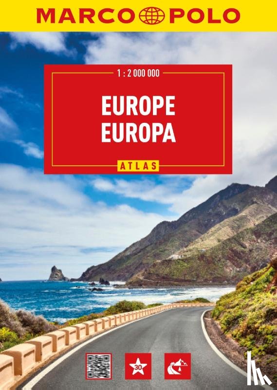
Zeer overzichtelijke wegenatlas in vernieuwde uitvoering. Met vele highlights, bezienswaardigheden en landschappelijk fraaie routes. Bevat praktische transitmaps voor een aantal stedelijke regio’s én 56 stadsplattegronden in schaal 1:20.000. Voorzien van afstandentabel, uitgebreid plaatsnamenregister en beknopte landspecifieke info.
I have a question about the book:
'Europa Wegenatlas Marco Polo - '.
Fill in the form below.
We will respond as fast as possible.
We value your privacy
We use cookies to measure traffic, improve Boekstra and let Google tailor ads to your interests. You can keep using the site either way — even if you decline. More info