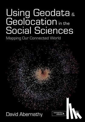
Using Geodata and Geolocation in the Social Sciences
Mapping our Connected World
Description
Covering context, concepts, and theories, as well as the practice of how to capture and visualize Geodata, this full-colour text introduces readers to the Geoweb and how best to incorporate location-based data into research.
I have a question about the book:
'Using Geodata and Geolocation in the Social Sciences - Abernathy'.
Fill in the form below.
We will respond as fast as possible.
We value your privacy
We use cookies to measure traffic, improve Boekstra and let Google tailor ads to your interests. You can keep using the site either way — even if you decline. More info