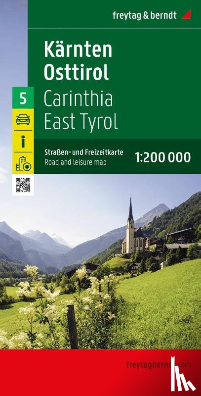
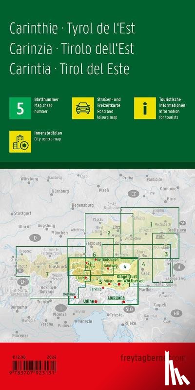
Carinthia - East Tyrol, Road and Leisure Map 1:200.000
Straßen- und Freizeitkarte
Description
The road and leisure map Carinthia - East Tyrol on a scale of 1:200,000 is the ideal map for planning and orientation thanks to the precise cartography from freytag & berndt. The dense road network is depicted in great detail, tourist routes and scenic routes are highlighted in color and many excursion destinations are shown directly on the map.
I have a question about the book:
‘Carinthia - East Tyrol, Road and Leisure Map 1:200.000 - Freytag-Berndt’.
Fill in the form below.
We will respond as fast as possible.