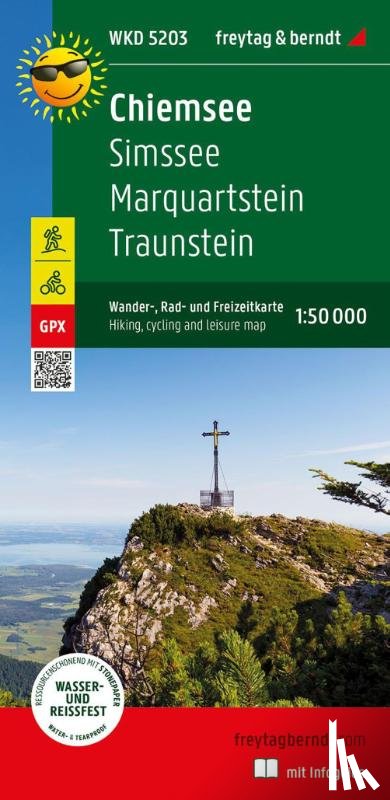
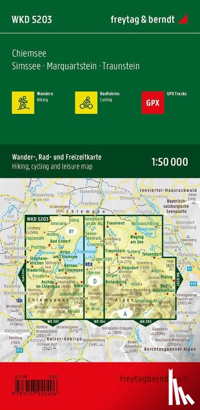
Chiemsee, hiking, cycling and leisure map 1:50,000, freytag & berndt, WKD 5203, with info guide
Simssee - Marquartstein - Traunstein, mit Infoguide, GPX Tracks, wasserfest und reißfest
Description
The Chiemsee forms the center of the map. Cycle and hiking trails close to the shore let him explore, lead to piers to visit Herreninsel and Fraueninsel. The routes through the rugged Chiemgau Alps (over 1,000 m above sea level) require fitness.
I have a question about the book:
‘Chiemsee, hiking, cycling and leisure map 1:50,000, freytag & berndt, WKD 5203, with info guide - ’.
Fill in the form below.
We will respond as fast as possible.