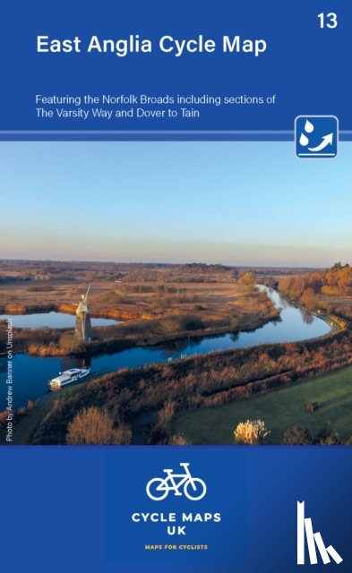
East Anglia Cycle Map featuring The Norfolk Broads
Including sections of The Varsity Way and Dover to Tain
Description
The maps are all produced at a scale of 1:100 000 showing important features including the National cycle Network. Sections on road, off road and traffic free are all shown in differing colours along with their route number.
I have a question about the book:
‘East Anglia Cycle Map featuring The Norfolk Broads - Cycle Maps UK’.
Fill in the form below.
We will respond as fast as possible.