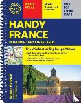
Philip's Handy Road Atlas France, Belgium and The Netherlands
Spiral A5
Description
Philip's Handy Road Atlas of France, Belgium and The Netherlands features new digital cartography from Philip's - voted Britain's clearest and most detailed European mapping in an independent consumer survey. This compact A5 atlas with lie-flat binding is perfect for travelling across France and the surrounding countries.
I have a question about the book:
‘Philip's Handy Road Atlas France, Belgium and The Netherlands - Philip's Maps’.
Fill in the form below.
We will respond as fast as possible.