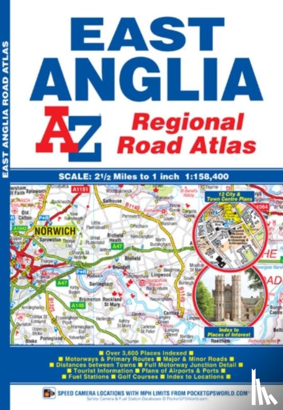
This A-Z map of East Anglia is a full colour regional road atlas featuring 39 pages of continuous road mapping extending from Grantham and Milton Keynes in the west to Lowestoft on the east coast, and from St Albans and Chelmsford in the south to Cromer on the north coast.
I have a question about the book:
‘East Anglia Regional Road Atlas - Geographers' A-Z Map Company’.
Fill in the form below.
We will respond as fast as possible.