Mapping, Monitoring, and Modeling Land and Water Resources
Advanced Techniques Using Open Source Software
Description
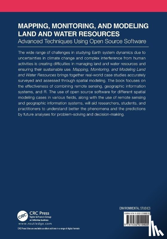
This book brings together real-world case studies accurately surveyed and assessed through spatial modeling and focuses on the effectiveness of combining remote sensing, GIS, and R. The use of open source software, remote sensing, and GIS, help researchers and practitioners to better understand the phenomena and the prediction of future analyses.
I have a question about the book:
‘Mapping, Monitoring, and Modeling Land and Water Resources - ’.
Fill in the form below.
We will respond as fast as possible.