AA Road Map East Anglia

1:200000

Description

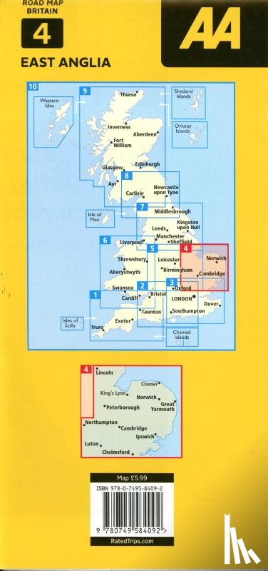
Britain’s clearest mapping from the experts at the AA, in a handy foldable map. Features include caravan and camping sites pinpointed on the mapping, city and town plans, easy-to-read place index name and a range of 9 regional sheet maps plus 1 map covering the whole of Britain.
€ 11,25
Topografische kaarten
 
Free shipping from
€ 19,95 within The Netherlands
Writer
Title
AA Road Map East Anglia
Publisher
AA Publishing
Year
2024
Language
English
Pages
1
Weight
104 gr
EAN
9780749584092
Dimensions
117 x 246 x 12 mm
Binding format
Topografische kaarten

You will always receive the last edition from us!


Categories

Boekstra